E-Bike route - Châtel (N°19)
Presentation
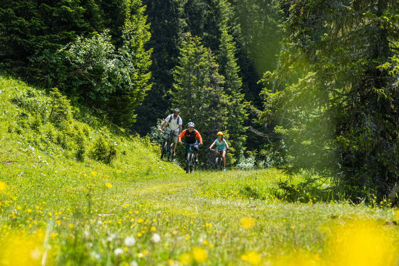
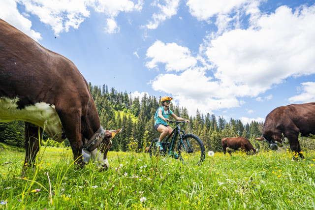
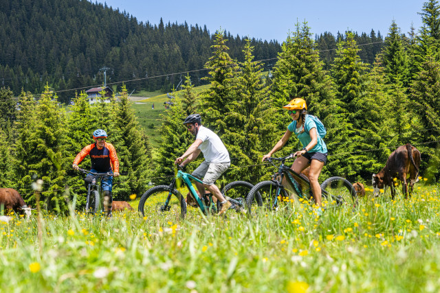
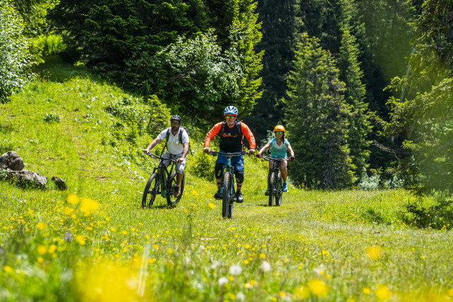
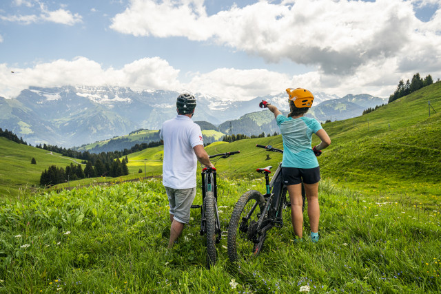
Leaving from the centre of Châtel, this route takes you on a loop through the mountain pastures, with numerous viewpoints. This challenging route is aimed at experienced mountain bikers.
After passing along the banks of the Dranse, you will come to the Très les Pierres chapel dating from 1784. This is where the main ascent to Les Boudimes begins.
From Les Quebales (1788m), a short descent leads to the Cornillon mountain pasture, in the heart of the Mont de Grange Natura 2000 site. From here, you can enjoy breathtaking views over the Essert cliffs.
The route continues on 4x4 tracks through various mountain pastures. At Betzalin, the loop continues towards Covagnes (1725 m) on a path leading up through undergrowth before a rolling section towards Grands Plans.
You can then take a detour to the Col de Bassachaux viewpoint (1777m) before descending to Plaine Dranse (1640m) on a short tarmac section.
The return journey is on the opposite side of the Mont de Grange, downhill from Le Queysset.
Square sign, black triangle topped by a bicycle on a beige background
Place de l'église underground car park (chargeable from 1 July to 31 August)
Place de l'église underground car park (chargeable from 1 July to 31 August)
OpeningsFrom 15/05 to 31/10.
Practical informations
- Levels of sporting experience :
- Level red – hard
- Route :
- daily duration (minutes) 150
- type of route BOUCLE
- marked route
- elevation (m) 1080
- distance (km) 25.3
- Documentation language(s) :
- English
- French
- Accessible tourism :
- Not accessible in a wheelchair
Category
- Section :
- Sport
- Cycle sports :
- Cycling sports
- Electric mountain bike route
On-site Services
- Parking :
- Parking
Tarifs
Free access.
We also suggest...
Contact us
E-Bike route - Châtel (N°19)
Départ du centre du village
74390
Châtel
Phone : +33 4 50 73 22 44
Location
Square sign, black triangle topped by a bicycle on a beige background
Place de l'église underground car park (chargeable from 1 July to 31 August)
Place de l'église underground car park (chargeable from 1 July to 31 August)
Additional location
- Environments :
- Forest location
- Parking :
- Parking
