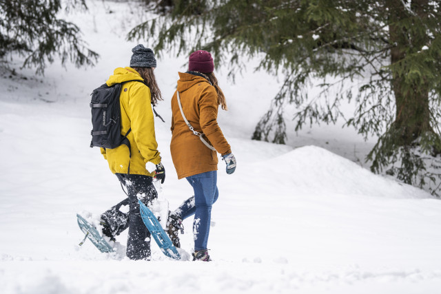
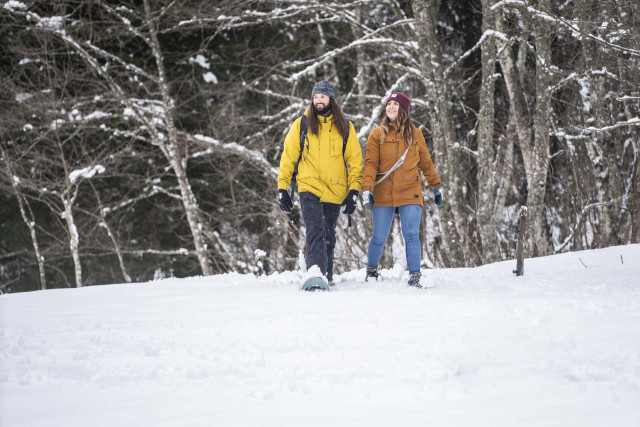
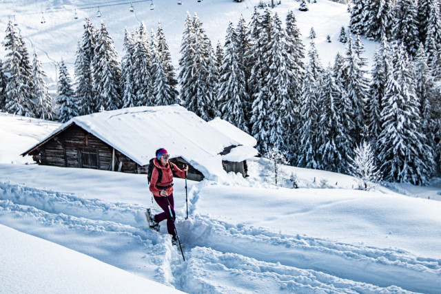
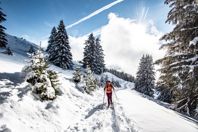
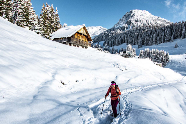
Snowshoe circuits
Explore new trails and have a go at being a trapper.
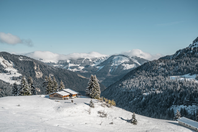
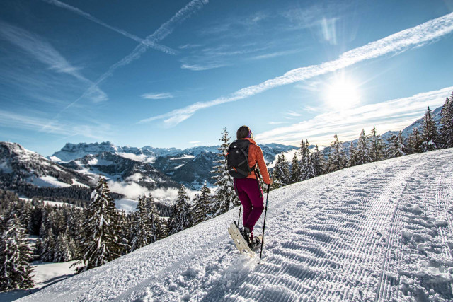
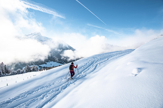
Over 80 km of trails providing you with a different insight into the mountains under their blanket of snow, at your own pace, on your own or with a guide. Walk, observe and breathe the air. Dazzling!
The circuits are accessible according to climatic conditions and is closed if the avalanche risk is 3 on 5 or more. Please contact the Tourist Office in advance to find out the conditions of access at the time or click on the button below.
Safety and rules of good practice:
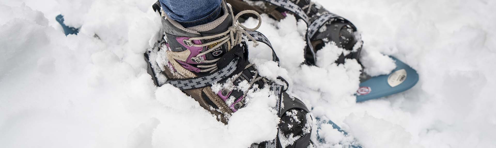
Equipment required :
A hat / Gloves / Sunglasses / Poles / Mountain boots
In the bag :
Warm clothing / Hot drinks and snacks / Mobile phone / First-aid kit / Sun cream.
A map of the circuits is available at the tourist office.
Over 80 km of trails providing you with a different insight into the mountains under their blanket of snow, at your own pace, on your own or with a guide. Walk, observe and breathe the air. Dazzling!
The circuits are accessible according to climatic conditions and is closed if the avalanche risk is 3 on 5 or more. Please contact the Tourist Office in advance to find out the conditions of access at the time or click on the button below.
Safety and rules of good practice:
- All routes are undertaken at the hiker's own risk, as they are not supervised.
- Before setting off, make sure you are aware of the weather conditions and the risk of avalanches, and remember to bring warm, waterproof clothing. Mountain weather changes very quickly. A high avalanche risk means that trails are closed.
- Choose a route suited to your level and physical condition.
- Follow the signposting instructions.
- Do not stray from the marked routes.
- Tell someone close to you about your outing and the route you have chosen.
- Never hike alone.
- Don't leave too late in the afternoon to make sure you're back before dark.
- Do not use the cross-country or downhill ski runs. Crossing the pistes is only permitted on marked crossings.
- Take plenty of food and water with you. Mountain sports require a lot of energy. Mountain inns and high-altitude restaurants exist on certain routes.
Equipment required :
A hat / Gloves / Sunglasses / Poles / Mountain boots
In the bag :
Warm clothing / Hot drinks and snacks / Mobile phone / First-aid kit / Sun cream.
A map of the circuits is available at the tourist office.

+33 4 50 73 22 44
This French-Swiss route is only for experienced snowshoers, as there are climbs and descents of varying gradients.
+33 4 50 73 22 44
This route, which starts in the forest and leads to the Col de Bassachaux, takes you through some magnificent scenery with panoramic views over the Vallée d'Abondance, the Vallée d'Aulps and Lake Montriond.
+33 4 50 73 22 44
This 7km Franco-Swiss route is for experienced snowshoe walkers only. It offers exceptional panoramic views and different variants, with a start on the French side or a start on the Swiss side.

+33 4 50 73 22 44
Following the edge of the forest, this route is very easy and accessible to all. It takes you from the centre of the village to Vonnes lake. It can also be done in the opposite direction.
+33 4 50 73 22 44
This woodland route, for experienced walkers only, is located in the Mont de Grange nature reserve, where chamois can be seen!
+33 4 50 73 22 44
The Bords de Dranse route runs for 16 km from Châtel to Abondance. This winter itinerary begins at Très les Pierres and follows the Linga to Pré la Joux route. A very easy route, it is accessible to all.
+33 4 50 73 22 44
This Franco-Swiss forest trail is suitable for experienced hikers.

+33 4 50 73 22 44
This is an easy forestry out-and-back route that can be extended with a variant in the form of a loop, starting from the car park at the Vonnes inter-domain link.
+33 4 50 73 22 44
It's a short, easy loop that's suitable for all the family, with very little difference in altitude. From the village centre, head towards Vonnes, as the starting point is at the car park for the inter-domain link.
+33 4 50 73 22 44
This very easy route, accessible to all, will take you from Châtel through the forest to Morgins Lake in Switzerland.
+33 4 50 73 22 44
This easy trail takes you between forest and mountain pastures to the sunny Petit-Châtel area, offering panoramic views of the village of Châtel and the Vallée d'Abondance.